

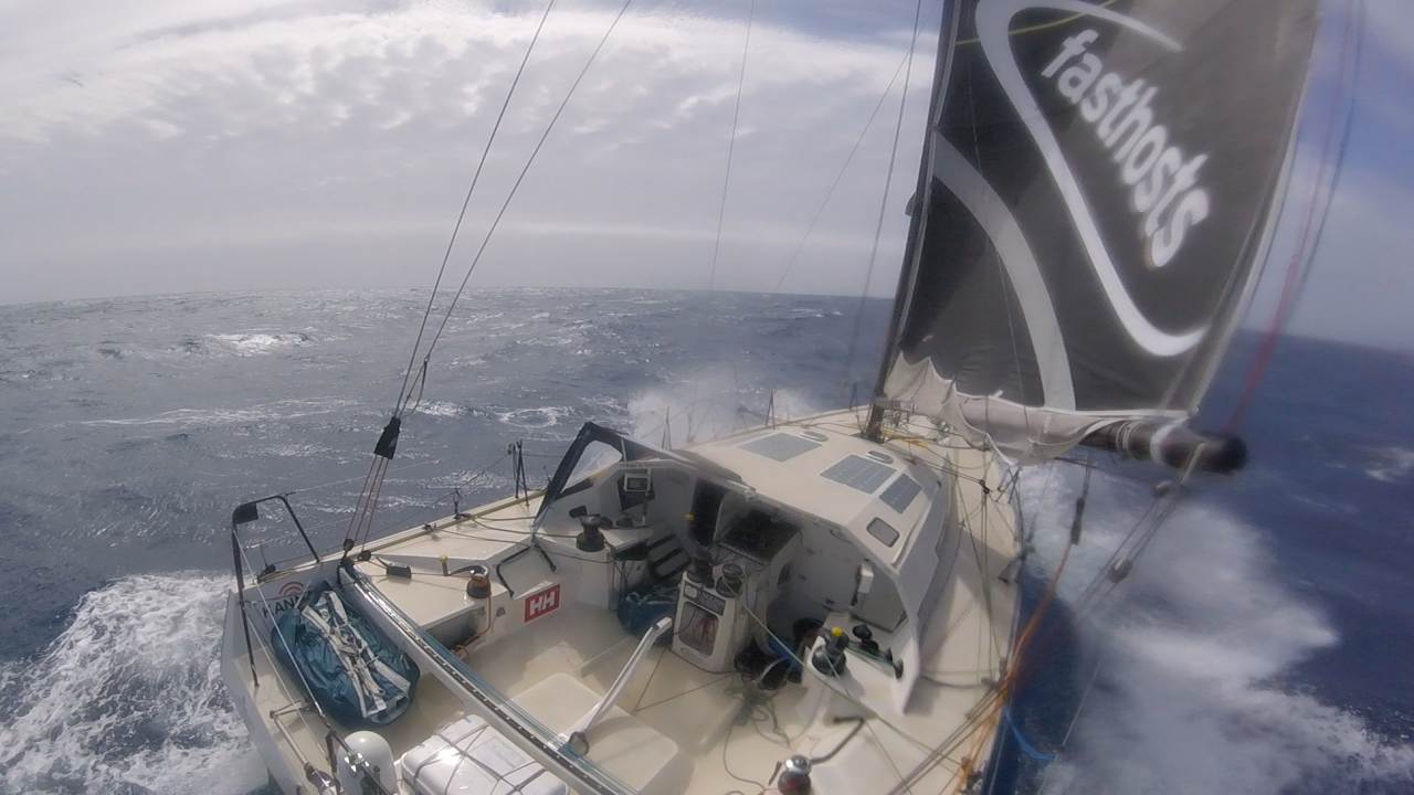
Alex has been involved in Weather Routing across all the major oceans. From high performance race yachts and cruising boats looking for the most efficient route to rowing boats racing across oceans trying to win races and break record
THE STORY
In reality it is number crunching, which is done by some very clever and powerful computer software, with some experience thrown in for good measure. There are many different routing software packages out there. We use some of the very best, tried and tested first hand. Which program we use depends on what the challenge or project is, from a rowing boat crossing the Atlantic, right up to high tech Grand Prix yachts racing around the world.
Recent Atlantic rowing results:
TWAC 2021 – The MOTHERSHIP. 2nd Female team
TWAC 2022 – HMS OARDACIOUS. New Military record
TWAC 2023 – HMS OARDACIOUS. 1st overall and Military record
